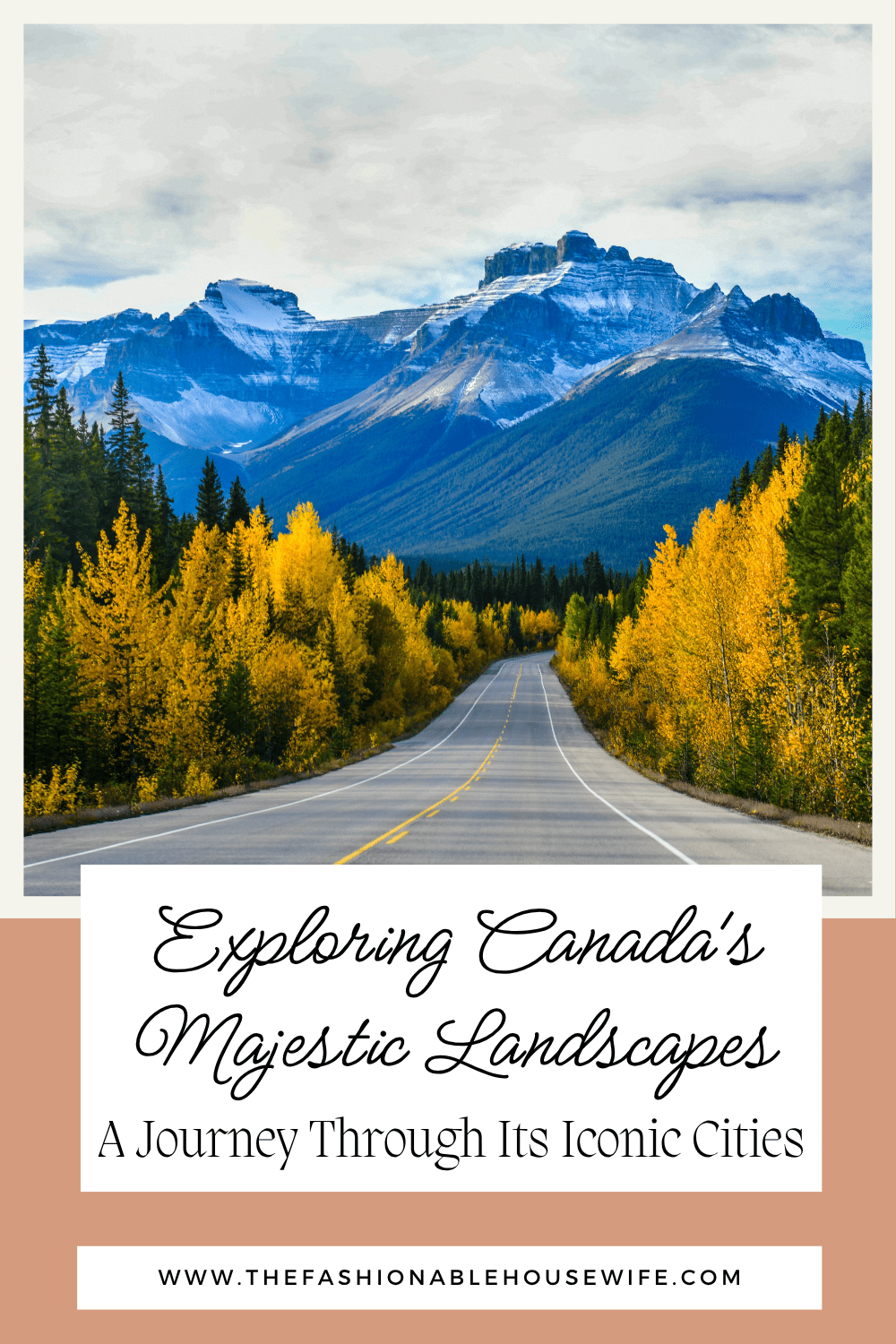
Exploring Canadian Landscapes: A Journey Through Its Iconic Cities
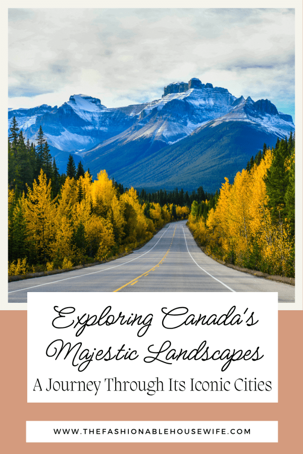
Canada is the second-largest country in the world by land area, and the gap between knowing that fact and actually feeling it is something the country closes on you gradually. The cities are enormous, the distances between them are serious, and Canadian landscapes that surrounds them – mountain, prairie, boreal forest, Arctic tundra – makes even the largest urban centers feel like interruptions in something much bigger.
The Rail Question
The distance between Vancouver and Toronto is around 4,400 kilometres by rail – roughly the same as crossing Europe from Lisbon to Moscow. For travellers with the time, it is one of the most comprehensive ways to understand what Canada actually is – the density of the Rockies giving way to the flat immensity of Saskatchewan and Manitoba, which most Canadians who fly between cities have never fully processed.
For those without three days to spare, trains in Canada operate on a more limited network than the rail systems of Japan or Western Europe, and the most practical connections are the regional ones: Vancouver to Whistler, Toronto to Ottawa, Quebec City to Montreal. The country’s geography and low population density make rail less competitive with flying for long distances, but the corridor between Quebec City and Windsor (passing through Montreal, Ottawa, and Toronto) is well-served and comfortable. For cross-country travel, the practical choice for most visitors is to fly between major cities and use rail or road to explore each region once you’re there.
Vancouver
Vancouver sits between the Coast Mountains and the Pacific Ocean in a position that makes it one of the most immediately striking cities in North America. The mountains are visible from downtown streets on clear days, and the access to outdoor activity from the city is genuinely unusual for an urban centre of its size. Grouse Mountain is reachable from downtown by a 25-minute bus and gondola ride; the ski runs operate in winter and the hiking trails in summer, and the view back over the city and the Strait of Georgia on a clear day is worth the trip regardless of season. Stanley Park, 400 hectares of old-growth forest and seawall on a peninsula attached to downtown, is the park that Vancouverites actually use – for cycling the seawall loop, swimming at Second Beach, or walking the forest trails that feel nothing like a city park.
The food in Vancouver reflects its geography in the most direct way: the Pacific seafood here – Dungeness crab, spot prawns (in season from May to June), Pacific salmon – is the best argument for eating close to the coast. The Granville Island Public Market is the city’s main covered food market and sells local produce, fresh fish, and prepared food in a working market environment that manages the difficult balance between being genuinely used by residents and accessible to visitors. The neighbourhoods of Gastown (the city’s oldest district, now a mix of independent restaurants and design shops) and Commercial Drive (denser, more neighbourhood-oriented, good Vietnamese and Italian food) give a sense of a city that has more texture than its reputation for outdoor recreation suggests.
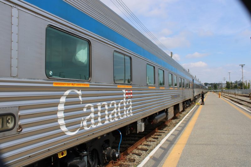
The train from Vancouver to Toronto on Via Rail’s Canadian takes three to four days depending on the route and the season, and the experience is less about efficient transport than about understanding the country’s scale from inside it. The train crosses the Rockies, the prairies, the Canadian Shield, and the Great Lakes region in sequence, and the dining car and observation dome make the journey something closer to a moving hotel than a transit option.
The Rockies
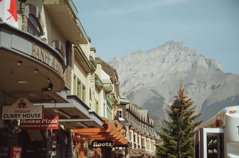
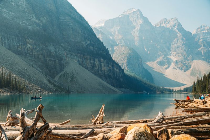
Banff and Jasper national parks in Alberta contain the most dramatic mountain scenery in Canada and some of the most accessible alpine terrain in North America. Banff townsite sits at 1,383 metres above sea level inside the park and has been a tourist destination since 1885, when the Canadian Pacific Railway opened the area to visitors as a way to finance the rail line. The infrastructure that followed – the Banff Springs Hotel, the gondola to Sulphur Mountain, the network of maintained hiking trails – is extensive enough that Banff can feel over-organised in July and August. The solution is to go early in the morning, go in September when the larches turn gold, or go to Jasper, which receives fewer visitors and has a more honest relationship with the wilderness around it.
Lake Louise, 45 minutes from Banff townsite, is one of the most photographed lakes in the world and holds up in person despite that familiarity. The turquoise colour comes from glacial flour – fine rock particles suspended in the meltwater – and changes intensity through the day as the light angle shifts. The Fairview trail above the lake and the Plain of Six Glaciers trail beyond the teahouse at the far end give you the lake from above and behind, which is where the sense of its scale becomes clear. The Icefields Parkway between Lake Louise and Jasper, 232 kilometres of mountain road through continuous national park, passes the Columbia Icefield (one of the largest non-polar icefields in the world) and is consistently listed among the most scenic drives in the world, which it earns.
Toronto
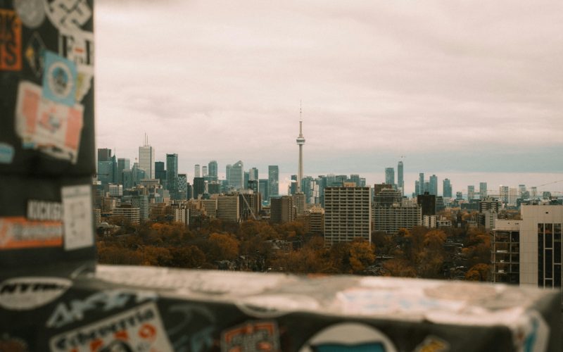
Toronto is Canada’s largest city and the one that most confidently presents itself as a world city rather than a regional one. The density of the downtown core, the scale of the financial district, and the diversity of the neighbourhoods – Kensington Market, Chinatown, Little Italy, the Distillery District – give it a complexity that rewards more time than most visitors allow. The CN Tower observation deck at 447 metres is the obvious starting point for orientation, and the glass floor section of the lower observation level, despite being a tourist staple, is still genuinely vertiginous. The Royal Ontario Museum in the Bloor-Yorkville neighbourhood has a collection that covers natural history and world cultures across 13 million objects and is one of the largest museums in North America.
The city’s relationship with its waterfront has improved significantly over the past decade. The Harbourfront Centre on Lake Ontario runs year-round programming and the waterfront trail east of Union Station toward the Beaches neighbourhood is a cycling and running route with the lake visible throughout. In winter, the Bentway skating trail under the Gardiner Expressway – a kilometre of lit outdoor ice – is the kind of infrastructure decision that reflects a city that has stopped pretending winter doesn’t happen.
Quebec City and Montreal
Quebec City is the only walled city north of Mexico in North America, and the fortifications that circle the Old City are intact enough to walk in full – around 4.6 kilometres of ramparts with views over the St Lawrence river from the Citadelle. The city divides into Upper Town (inside the walls, more formal, the Chateau Frontenac dominating the skyline) and Lower Town (the Petit-Champlain district by the river, older, narrower, the streets sloped sharply down from the cliff). The French character of the city is not decorative – Quebec City is an almost entirely francophone city and the culture, food, and public life reflect that in ways that make it feel genuinely distinct from the rest of English Canada.
Montreal, two hours west by train, operates at a different register entirely – larger, more cosmopolitan, bilingual in practice if not always in law, with a food culture that draws on French technique and North American scale in equal measure. The Plateau-Mont-Royal neighbourhood is where the city’s character is most concentrated: outdoor staircases, Victorian duplexes, street markets, and a density of cafes and restaurants that reflects how seriously the city takes eating. Mount Royal, the small extinct volcano that gives the city its name, is accessible by foot from the Plateau and the summit gives a view over the city and the St Lawrence plain that explains Montreal’s location.
Conclusion
Canada’s cities are easier to understand once you’ve spent time in the Canadian landscape between them. The Rockies, the prairies, and the boreal forest that connects Vancouver to Toronto are not background to the cities – they’re the context that makes those cities comprehensible. Whatever route you take through Canada, building in time for the land between the urban stops is what makes the country make sense.